Contents
Overview
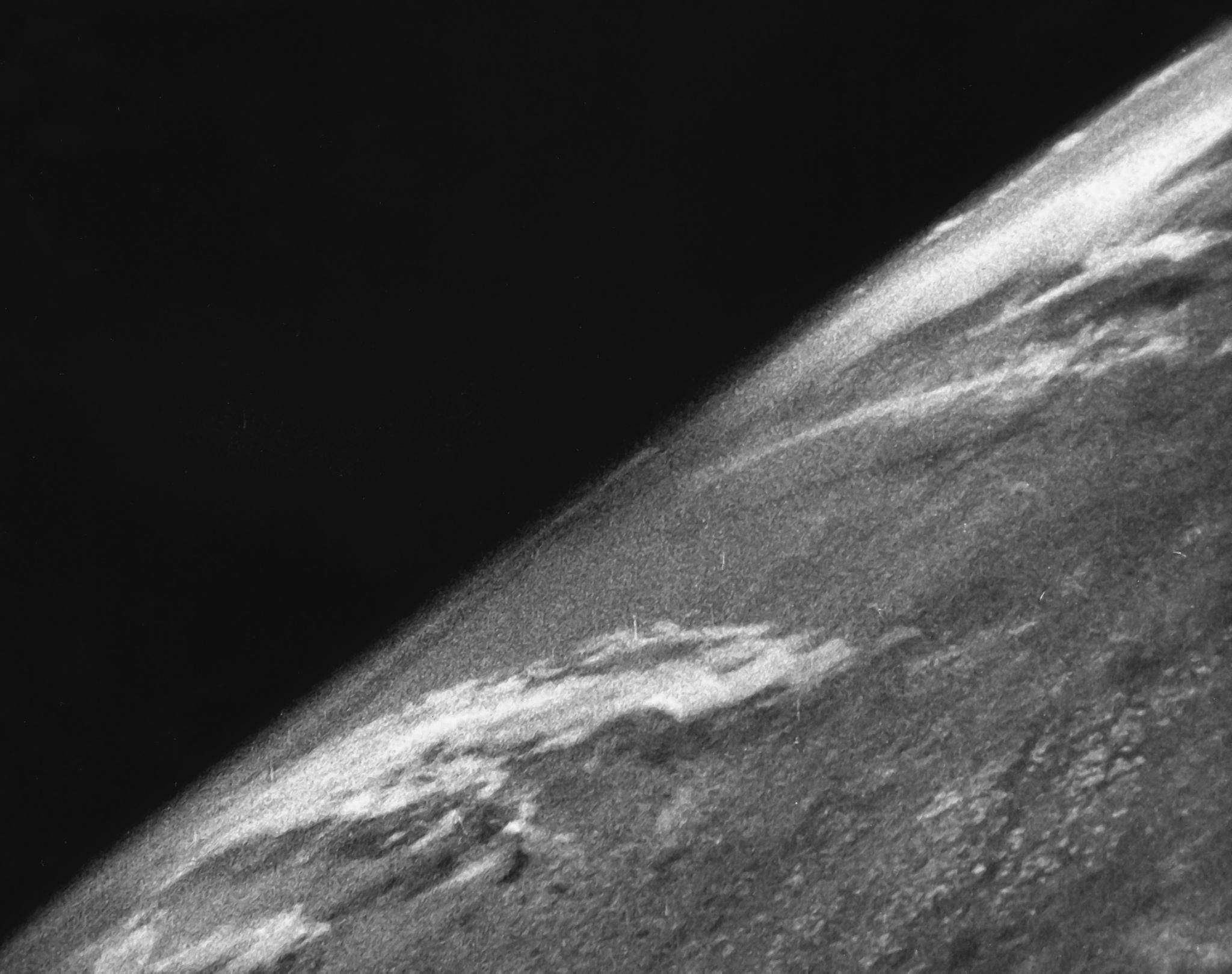
Satellite imaging involves capturing visual representations of Earth's surface from orbiting spacecraft. These images, collected by sophisticated sensors, provide a unique vantage point for monitoring environmental changes, urban development, agricultural yields, and even military activities. Companies like Maxar Technologies and Planet Labs operate vast constellations of satellites, generating petabytes of data daily. The technology has evolved from early reconnaissance missions to high-resolution, multi-spectral imaging, enabling applications ranging from disaster response to precision agriculture and urban planning. Its influence is pervasive, underpinning everything from Google Maps to critical national security assessments, making it an indispensable tool in understanding and managing our planet.
🎵 Origins & History
The genesis of satellite imaging is inextricably linked to the dawn of the space age, with early aerial reconnaissance paving the way for orbital perspectives. The technology has evolved from early reconnaissance missions to high-resolution, multi-spectral imaging, enabling applications ranging from disaster response to precision agriculture and urban planning.
⚙️ How It Works
Satellite imaging relies on specialized sensors mounted on spacecraft that orbit Earth. These sensors capture electromagnetic radiation reflected or emitted by the Earth's surface across various wavelengths, including visible light, infrared, and radar. Different sensor types, such as panchromatic (black and white), multispectral (capturing specific bands of color), and hyperspectral (capturing hundreds of narrow bands), provide varying levels of detail and information. The data is then transmitted to ground stations, processed, and georeferenced to create accurate maps and imagery. Satellites can be polar-orbiting, passing over most of the Earth, or geostationary, remaining over a fixed point, each offering distinct advantages for different monitoring tasks.
📊 Key Facts & Numbers
The satellite imaging market is a multi-billion dollar industry, according to various market research firms. Over 1,000 Earth observation satellites are currently in orbit, with more than 300 launched in the last five years alone. High-resolution imagery can achieve resolutions as fine as 30 centimeters per pixel, allowing for the identification of individual vehicles or even small objects. The volume of data generated is staggering, with companies like Planet Labs collecting over 2 million square kilometers of imagery daily. The cost of launching a satellite can range from $50 million to over $300 million, with ongoing operational expenses for data acquisition and processing.
👥 Key People & Organizations
Key players in satellite imaging include government agencies like NASA, the European Space Agency (ESA), and China's National Space Administration, which drive scientific research and public service applications. Commercially, companies such as Maxar Technologies, Airbus Defence and Space, and Planet Labs operate large constellations of imaging satellites. Satellogic is another significant player, focusing on high-frequency, medium-resolution imagery. Google and Apple are major consumers of this data for their mapping services, licensing vast amounts of imagery for their platforms.
🌍 Cultural Impact & Influence
Satellite imaging has profoundly reshaped our understanding of the planet and our place within it. It has provided irrefutable visual evidence of climate change, from melting glaciers to deforestation in the Amazon rainforest. The ability to monitor vast areas remotely has transformed disaster response, enabling rapid damage assessments after hurricanes, earthquakes, and floods. Furthermore, it has influenced urban planning, resource management, and even geopolitical analysis, offering a consistent, objective view of global developments. The iconic "Blue Marble" photograph, taken by Apollo 17 astronauts in 1972, is a testament to the profound cultural impact of seeing Earth from space.
⚡ Current State & Latest Developments
The current landscape of satellite imaging is characterized by rapid technological advancement and increasing accessibility. The proliferation of small satellites, or smallsats, has lowered launch costs and enabled more frequent revisits of specific areas. Companies are increasingly focusing on artificial intelligence and machine learning to analyze the massive datasets, extracting actionable insights for various industries. The demand for real-time or near-real-time imagery is growing, particularly for applications in defense, agriculture, and environmental monitoring. New sensor technologies, such as advanced radar systems capable of seeing through clouds, are also expanding the capabilities of Earth observation.
🤔 Controversies & Debates
Significant controversies surround satellite imaging, primarily concerning privacy and surveillance. The ability of high-resolution satellites to capture detailed images of private property raises ethical questions about government and corporate oversight. Debates also exist regarding data ownership and access, particularly for developing nations that may lack the infrastructure or funding to utilize this technology effectively. The dual-use nature of satellite imagery, applicable to both civilian and military purposes, fuels discussions about its role in international security and conflict. Furthermore, the environmental impact of launching and maintaining large satellite constellations, including space debris concerns, is an emerging area of debate.
🔮 Future Outlook & Predictions
The future of satellite imaging points towards even greater integration with AI and a move towards "digital twins" of the Earth. Expect constellations with enhanced sensor capabilities, including more sophisticated radar, thermal, and hyperspectral sensors, providing richer data streams. The development of on-orbit processing and edge computing will enable faster data analysis and decision-making. The commercialization of space will likely lead to more specialized imaging services, catering to niche markets. Furthermore, the increasing focus on sustainability and climate monitoring will drive demand for continuous, high-frequency observation of critical environmental indicators, potentially leading to a comprehensive, real-time digital replica of our planet.
💡 Practical Applications
Satellite imaging has a vast array of practical applications across numerous sectors. In agriculture, it enables precision farming by monitoring crop health, soil moisture, and yield predictions. For environmental management, it's crucial for tracking deforestation, monitoring water resources, assessing pollution, and mapping biodiversity. Urban planners use it to monitor city growth, infrastructure development, and traffic patterns. The defense and intelligence sectors rely heavily on satellite imagery for reconnaissance, surveillance, and situational awareness. Disaster management agencies use it for rapid damage assessment and response coordination. Financial institutions also leverage satellite data to track economic activity, such as commodity movements and construction rates.
Key Facts
- Category
- technology
- Type
- technology