Urban Planning Models | Vibepedia
Urban planning models are digital tools used to design, analyze, and optimize urban spaces. These models integrate data from various sources, such as geographic
Overview
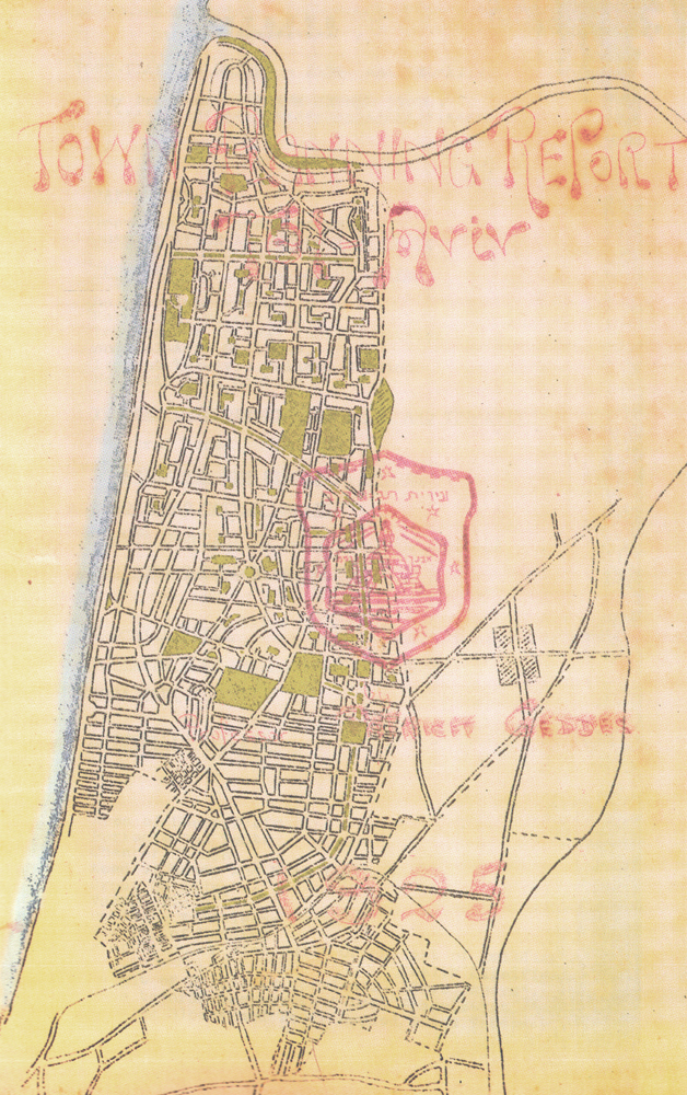
Urban planning models are digital tools used to design, analyze, and optimize urban spaces. These models integrate data from various sources, such as geographic information systems (GIS), transportation systems, and demographic data, to create simulations of urban environments. By leveraging urban planning models, cities like [[tel-aviv|Tel Aviv]] and [[new-york-city|New York City]] can improve the quality of life for their citizens. The use of urban planning models is influenced by the work of pioneers like [[patrick-geddes|Patrick Geddes]], who designed the 1925 masterplan for Tel Aviv.